Catherine Creek Trail: One of the best spring hikes in Washington
One of the best spring hikes in Washington is heading up to Catherine Creek, which has sweeping river views, waterfalls and meadows bursting with vibrant wildflowers.
Located between Bingen and Lyle along Old Highway 8, the extensive trail system has pathways for all ability levels ranging from wheelchair-accessible paths to vertical climbs. It also links up with Syncline and Coyote Wall, and there are birding opportunities along with hiking, biking and equestrian trails.
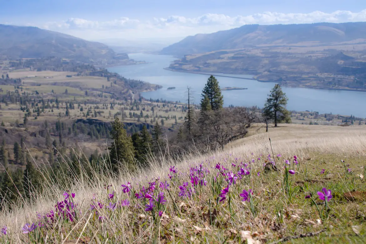
Table of Contents
Nature in Catherine Creek
Catherine Creek was originally a ranch, and acquired by the Forest Service in 1987 to protect the variety of native plants and sensitive sites such as its unique arch formation.
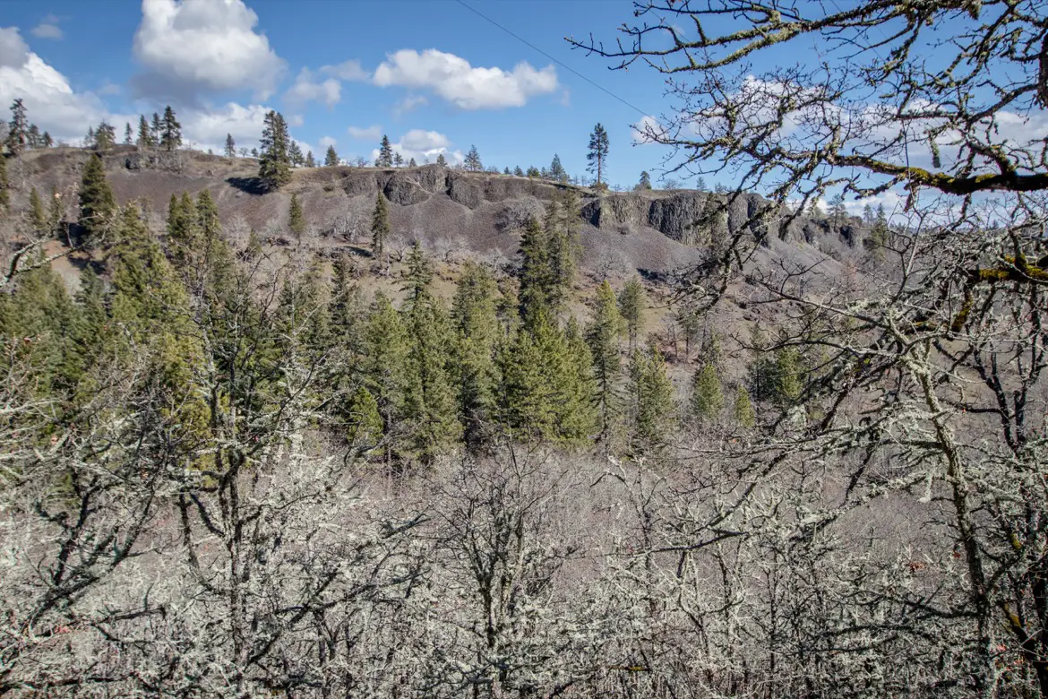
A universal access trail was completed in 1998, so visitors can explore the area without disturbing the fragile ecosystem that’s home to blossoms like the Northwest Balsamroot and Paintbrush. Those yellow blossoms prompted locals to nickname the area “Sunflower Hill”, and are just some of the more than 90 species of wildflowers found in the area from February to July.

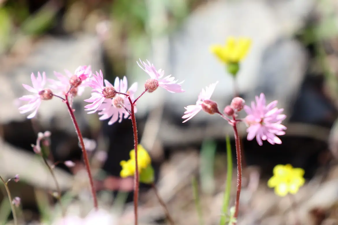
There are a few trails in the Catherine Creek Recreation Area, with the most popular being the Catherine Creek Arch Loop, Catherine Creek West Loop, and Catherine Creek Interpretive Trail. To connect with Coyote Wall, follow Bitterroot Trail #4422 towards the west.
Catherine Creek West Loop
This 90-minute hike has the most bang for your buck, and the reward for the moderate incline on the way up is sweeping views overlooking the Columbia River Gorge.
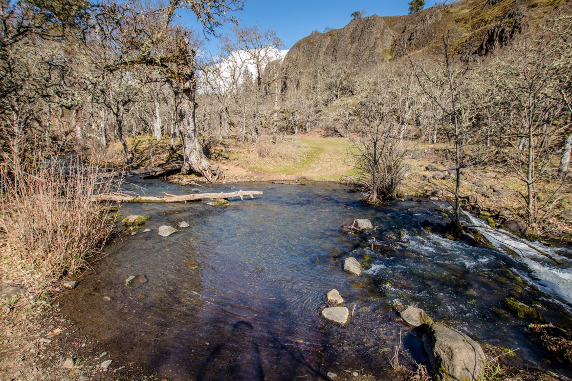
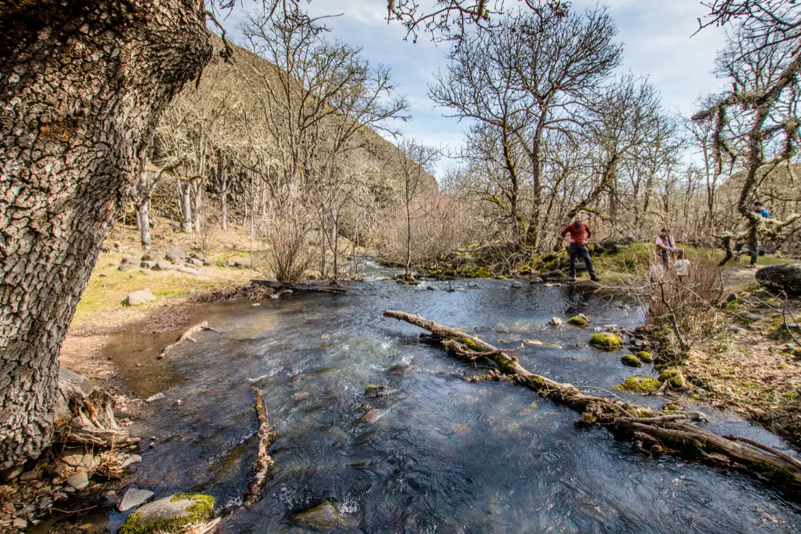
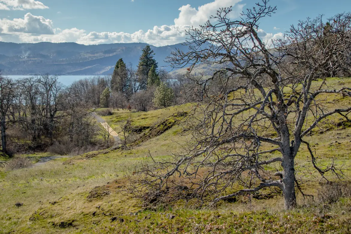
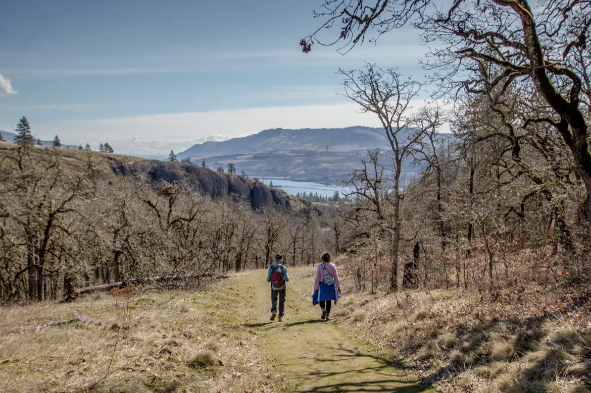 Starting at the main trailhead, follow it to the creek junction then turn left up the hill (where the leashed dog sign is) instead of crossing the water. You’ll head uphill along a treed-in pathway for about 20 minutes, before emerging onto a grassy hillside to see this:
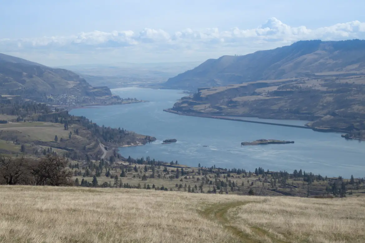

Head towards the ridge which overlooks the river and the old highway, and follow that trail back down. Download the All Trails app to pull up the map before you go, since the path is a bit hard to follow in spots where it’s just loose rock and scree.
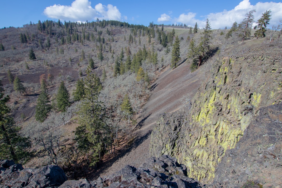
The most important thing to remember is to do this Catherine Creek hike counter-clockwise, so that you can enjoy the Gorge views on the way down instead of having them behind your back on the way up.
Catherine Creek Arch Loop
This two-mile hike takes about one hour to complete, and with an elevation gain of less than 400 feet its a good family-friendly choice. Highlights along the arch route include seeing the natural rock archway, crossing Catherine Creek, views of Mt. Hood views, and a bridge crossing at the end.
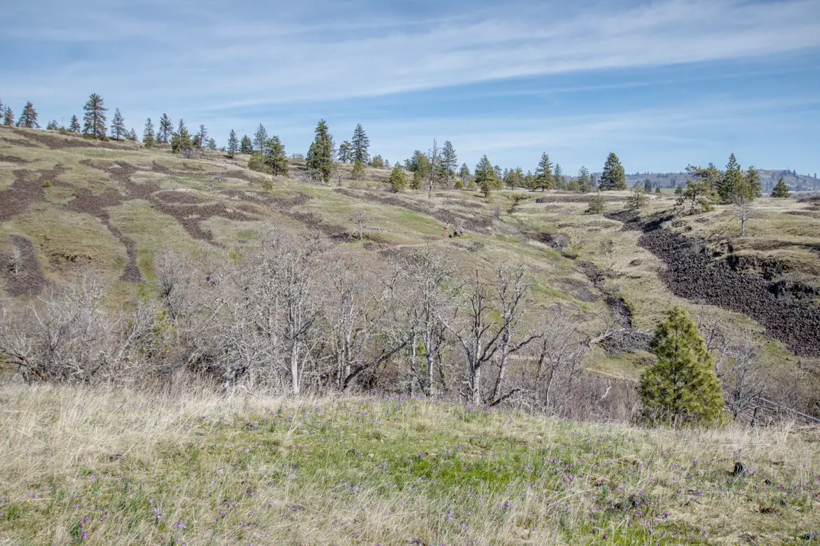
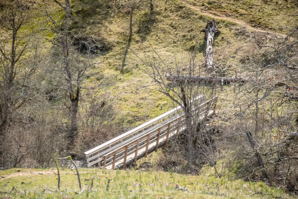
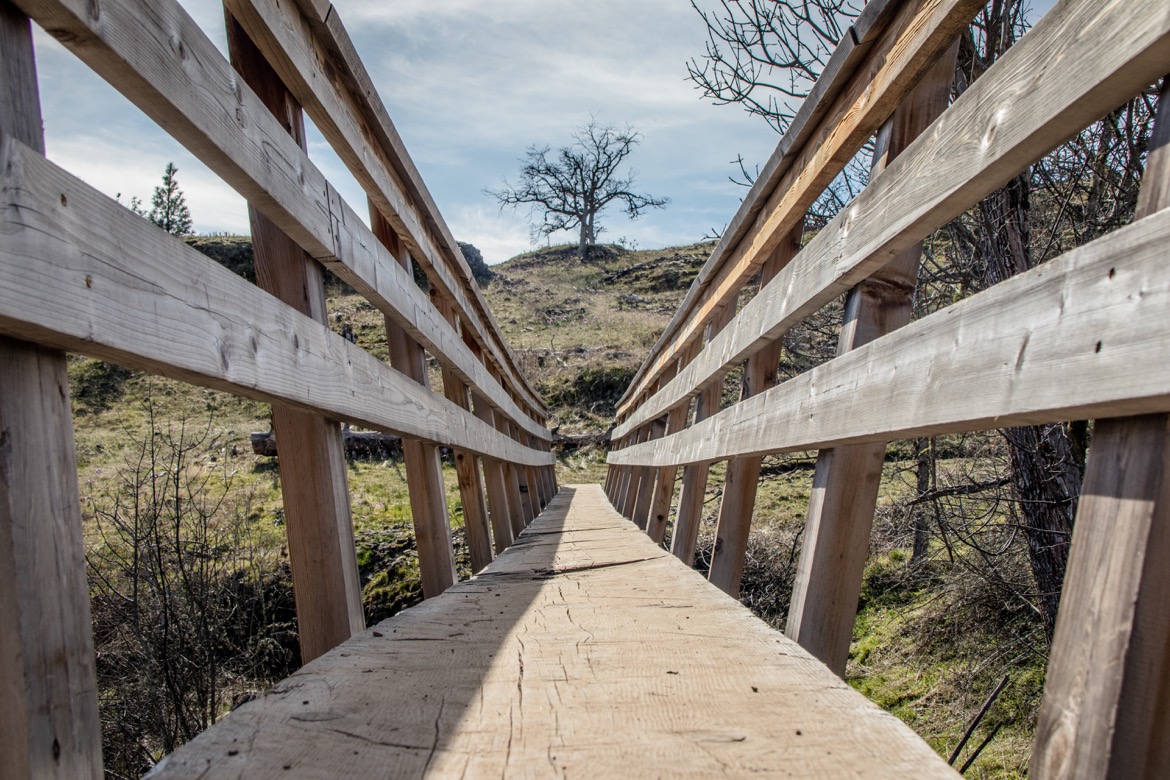
The trail starts out the same as the West Loop, but when you get to the creek you’ll want to veer right and cross over on the wooden walkway. Shortly after, you’ll come to the natural archway.
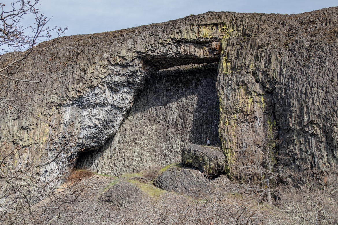
A winding trail leads up the hillside through fields of wildflowers, and at the top you’ll enjoy views of Mt. Hood and the Columbia River Gorge.
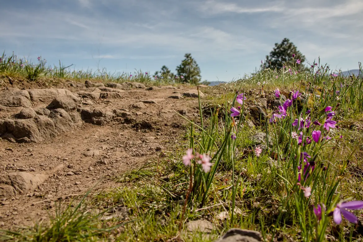
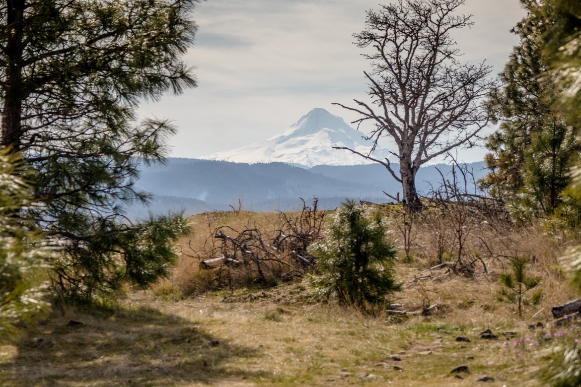
The pathway heads east, then does a switchback towards the parking lot where you’ll cross over a narrow wooden bridge to conclude the hike.
Catherine Creek Interpretive Trail
A great option for families and those with mobility needs, the Catherine Creek Interpretive Trail starts on the other side of the highway along the river.
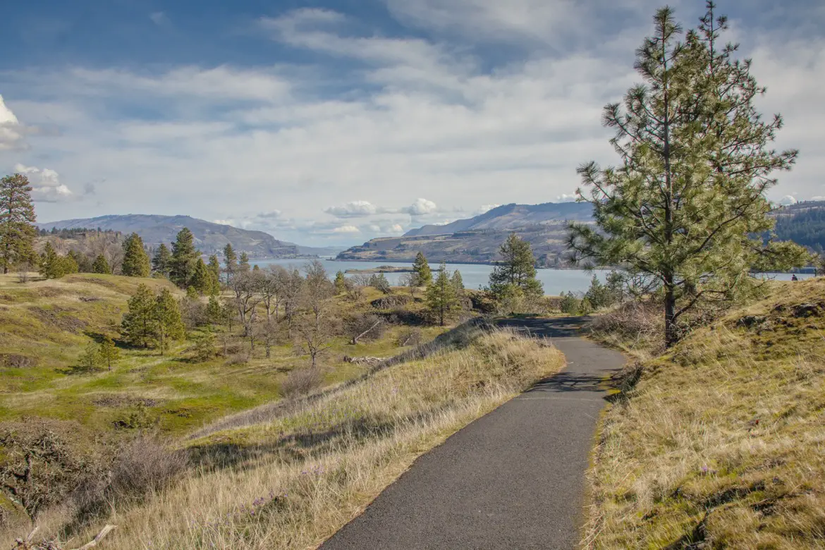
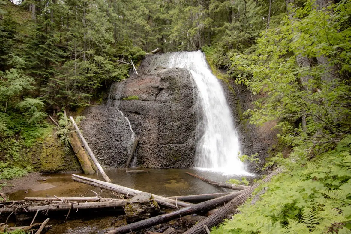
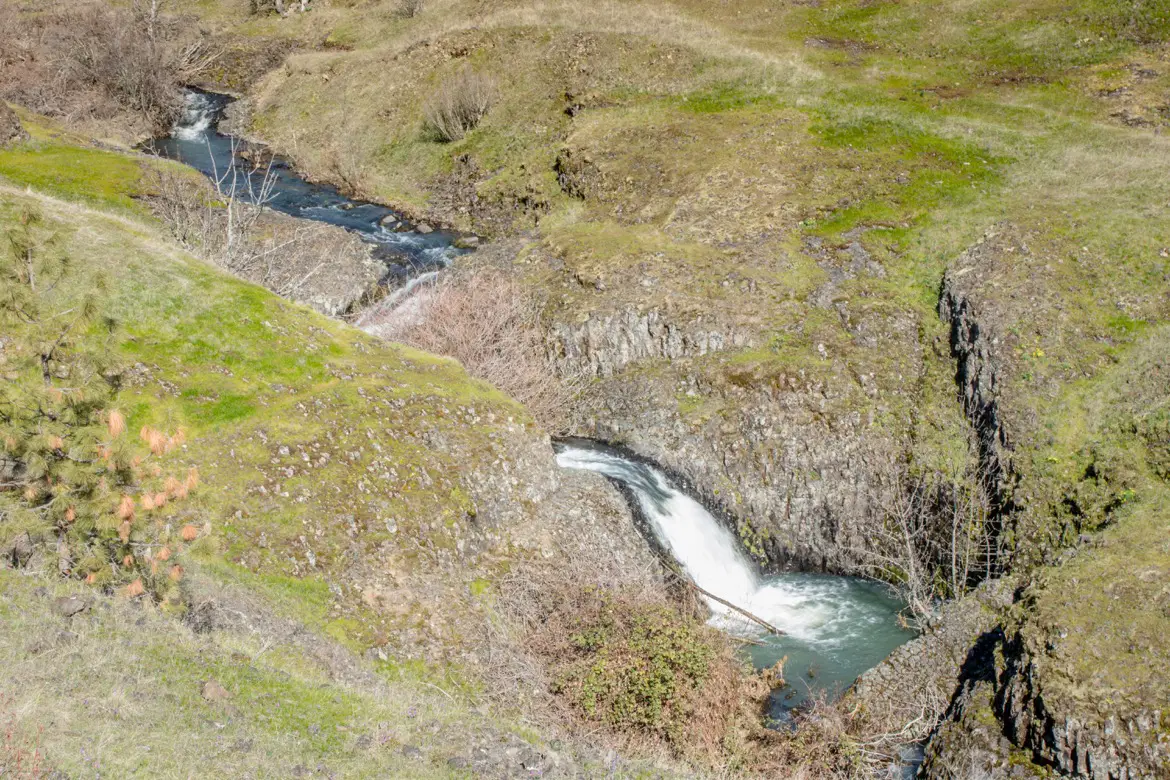
The paved path is a 1.5 mile loop with beautiful views of the Columbia River Gorge, a waterfall, wildflowers, and a few spots where you can look down at the Old Highway and the train tracks.
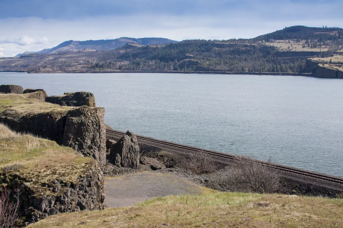
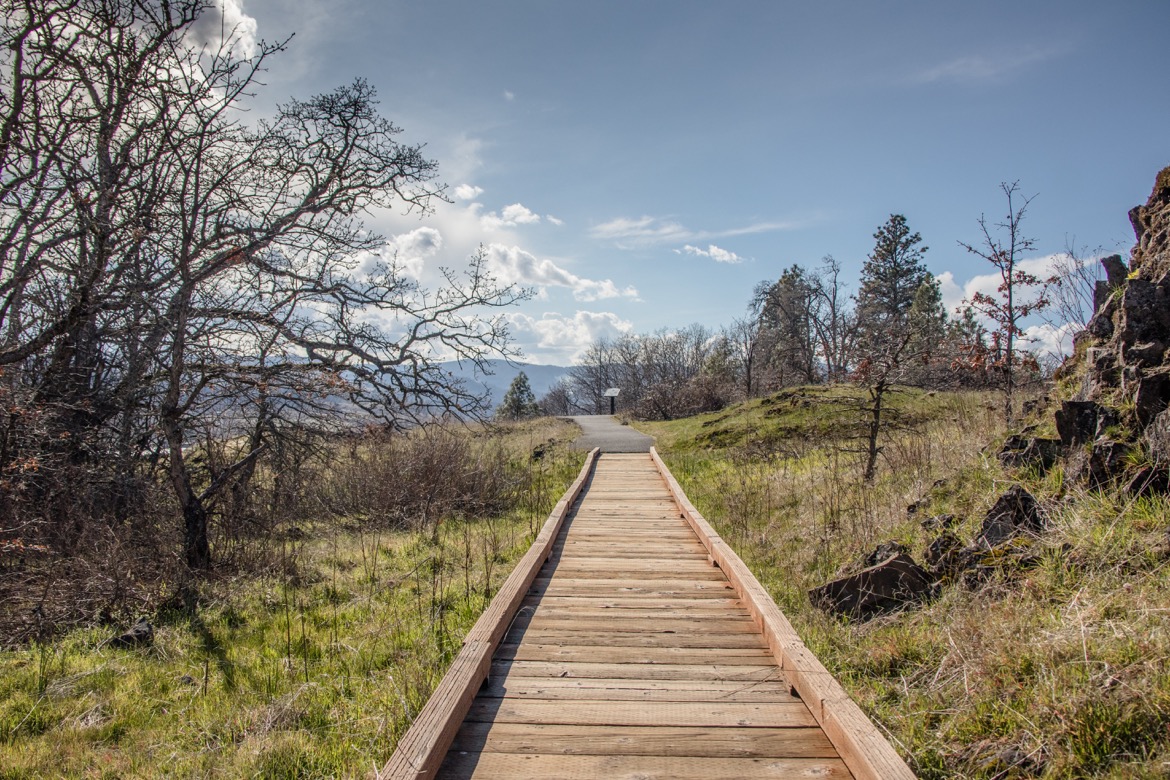
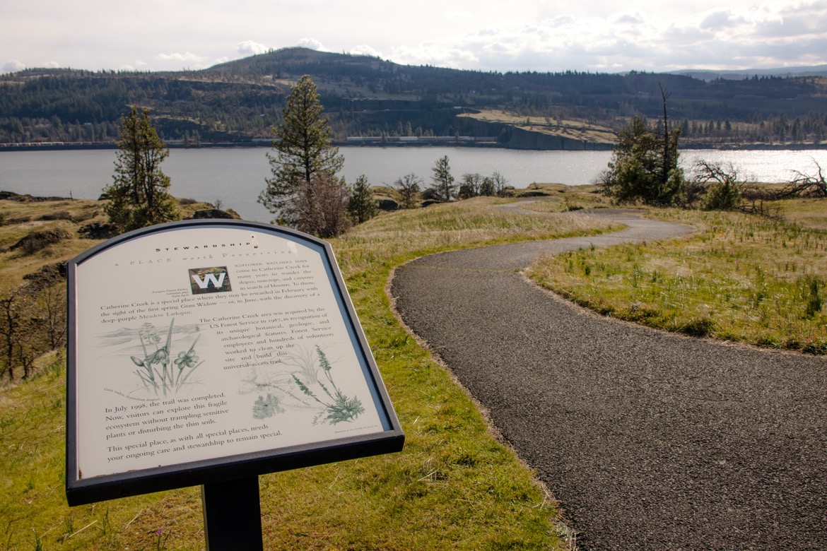
Numerous signs along the trail highlight the area’s natural features, the blooming seasons, the history of the Gorge and stewardship of Catherine Creek. There are also a number of benches along the pathway where you can relax and enjoy the view.

Tips for hiking Catherine Creek
Park fees: None
Pet friendly: Dogs are allowed year-round, as long as they are on leash.
Washroom facilities: Port-a-potty from mid-January to early June.
Parking: There’s a gravel parking area just off the highway leading to the trailhead. It can get busy on weekends, so try to arrive early.
YOU MIGHT ALSO ENJOY:
- Hiking the incredible Hamilton Mountain Trail in Washington
- The scenic Hospital Hill hike in Bingen, Washington
- The Wind Mountain hike in southern Washington
- The Coyote Wall hike on Washington’s Syncline Trail
- Why Langfield Falls is one of the easiest Gifford Pinchot National Forest hikes
SHARE TO PIN:

Tamara Elliott is the travel editor and founder of The Gorge Guide, which highlights the best experiences in the Columbia River Gorge. She’s an award-winning writer formerly based in Hood River, Oregon, who particularly loves the area wineries and waterfall hikes. Tamara is also the founder of Globe Guide, which offers savvy tips for exploring destinations around the world.


