Hiking the scenic Mosier Plateau Trail in Oregon
The Mosier Plateau Trail is one of the best hikes near Hood River, and a great option for a quick after-work hike or a family day out thanks to its easy access and great views that don’t require much time and effort.
The 2.7 mile out-and-back trail only takes about 30 minutes each way, and highlights include a set of towering, terraced falls, a swimming hole and sweeping views of the Columbia River Gorge. It’s particularly good in spring when it’s not too hot out yet since there isn’t much tree cover along the path, and the wildflowers are starting to bloom.
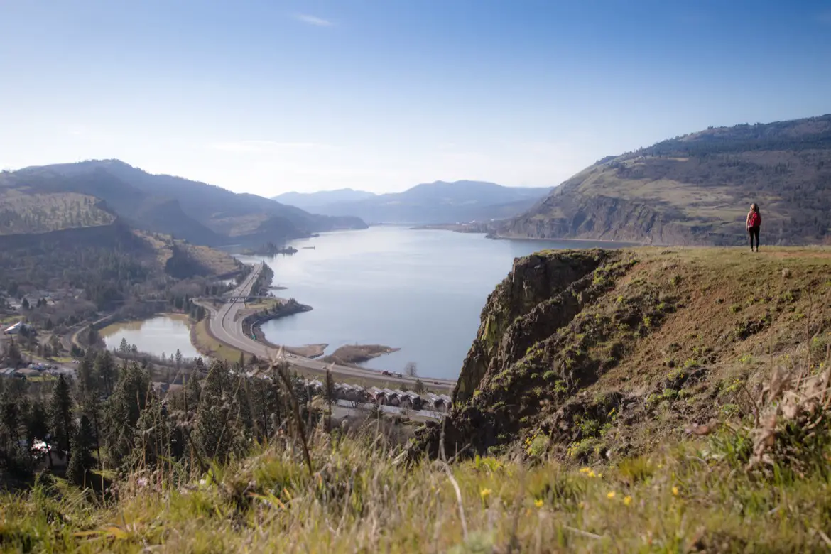
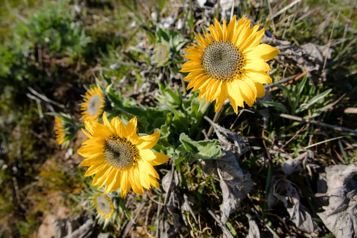
Table of Contents
How to get to the Mosier Plateau Trail
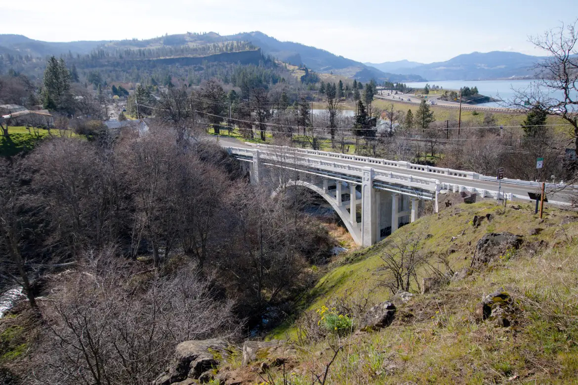
There’s a free public parking area along the Historic Columbia River Highway (Hwy 30) which runs through town, and the lot is on the west side of the Mosier Creek Bridge. From there, walk across the bridge and you’ll see a sign marking the start of the Mosier Plateau Trail heading up the hill.
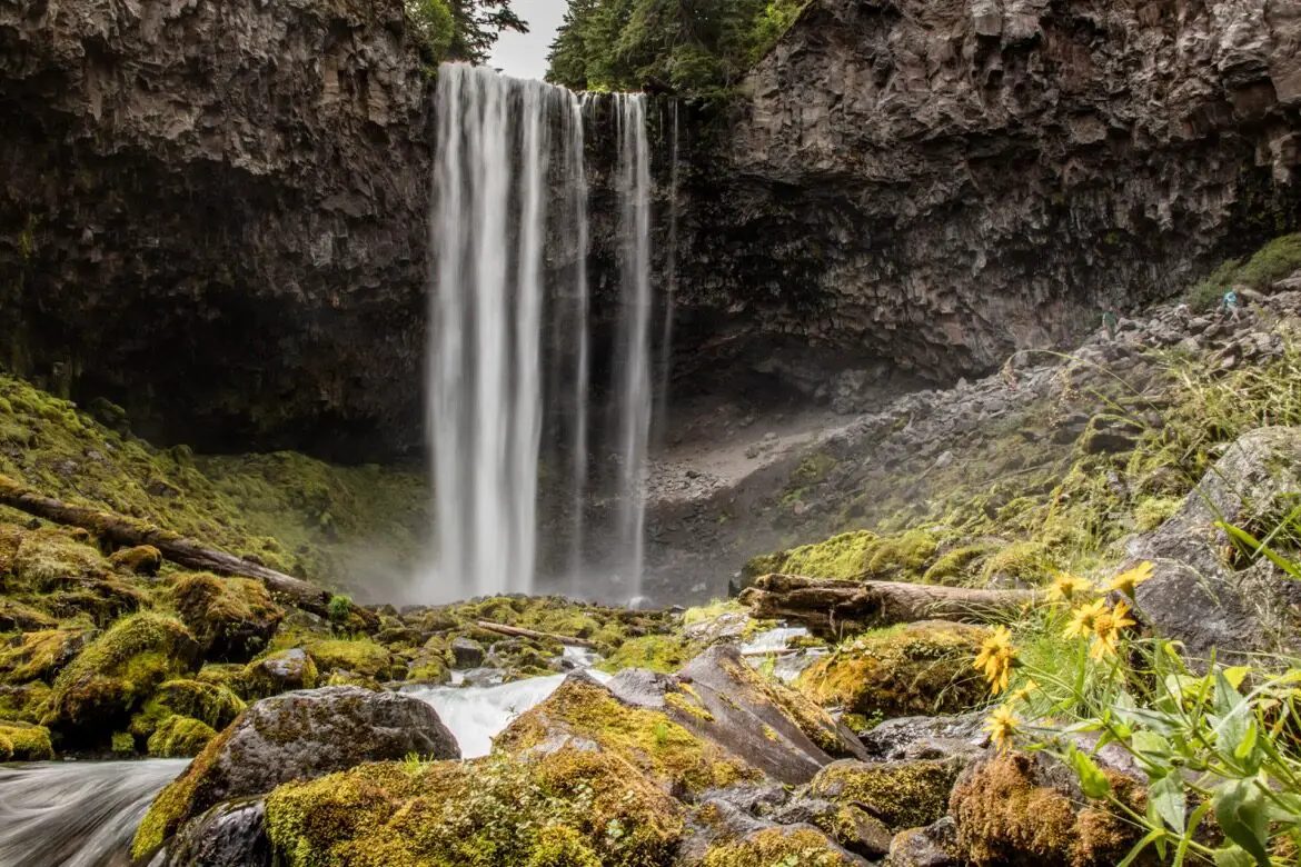
Mosier Creek Falls
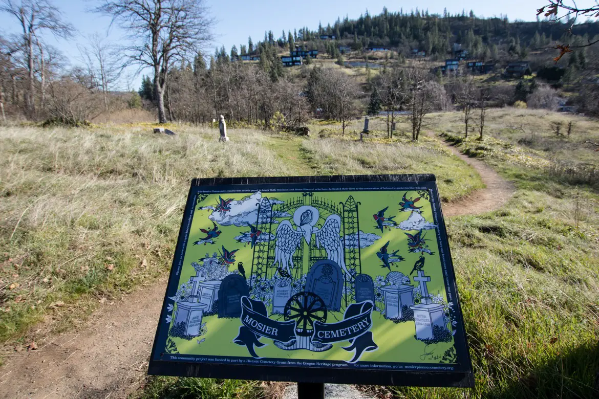
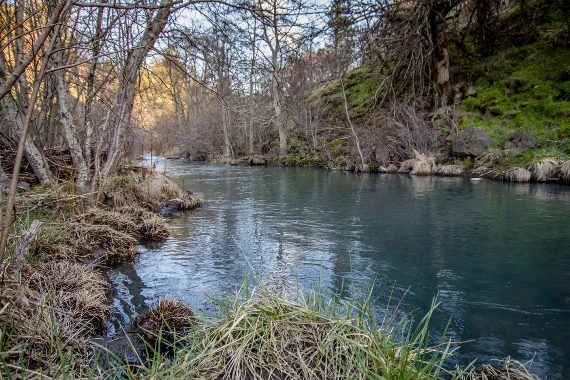
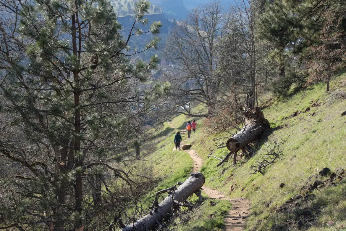
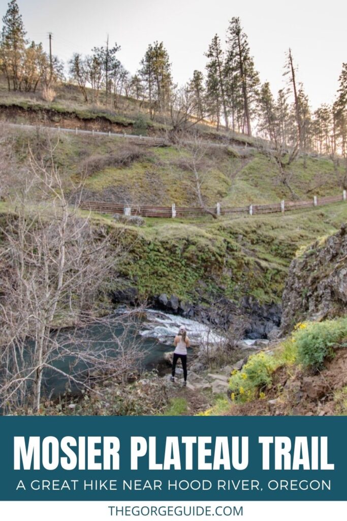
The trail starts up a winding dirt pathway, and has great views looking back at the historic bridge and the Mosier Creek. You’ll quickly reach the Mosier Cemetery, and it’s just a few more minutes to get to Mosier Creek Falls.
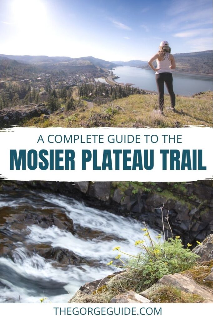
The multi-tiered, 100-foot high waterfalls are quite the spectacle, especially in spring when the snow runoff makes them even more powerful. Water bursts over two rocky crevasses, and gushes down through a steep, vibrant green canyon.
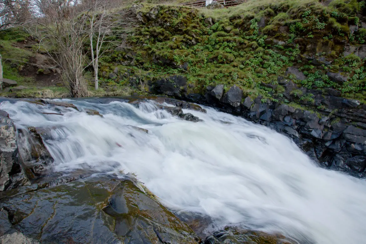
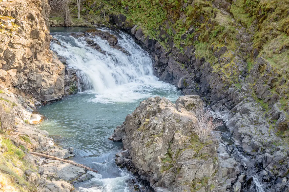
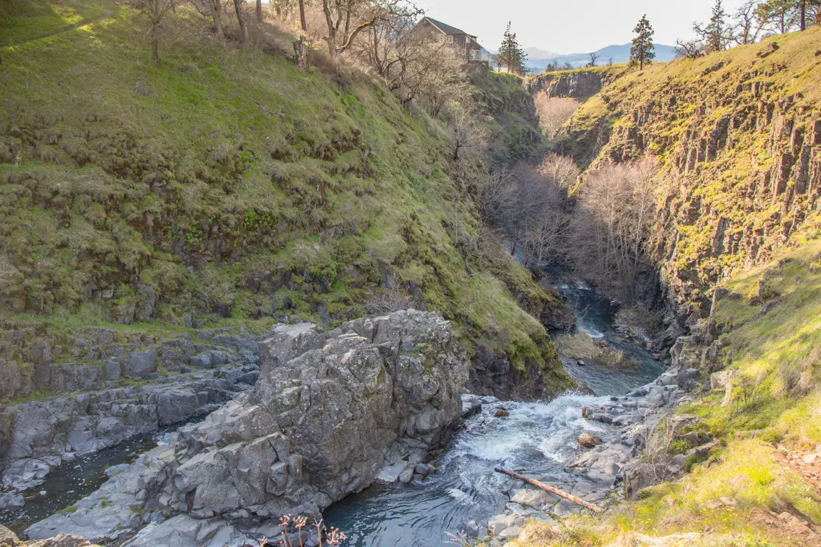
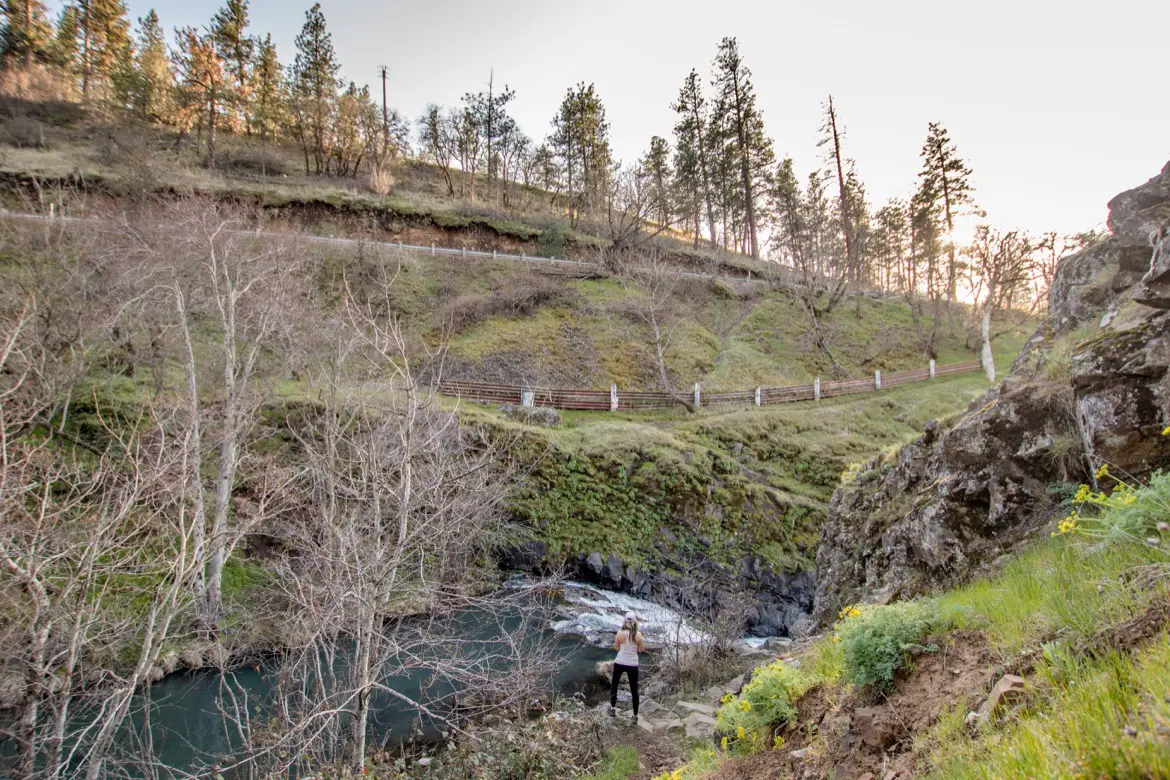
There are a couple of overlooks to see the falls from above, and you can also head down one of the steep pathways that leads right down to them. When the falls are more tranquil in summer, this is a popular swimming hole for locals.
 The Mosier Plateau Trail hike
The hike continues past the falls, and a series of steep switchbacks head up the exposed hillside. If you’re lucky, you might even spot bald eagles, deer or wild turkeys.
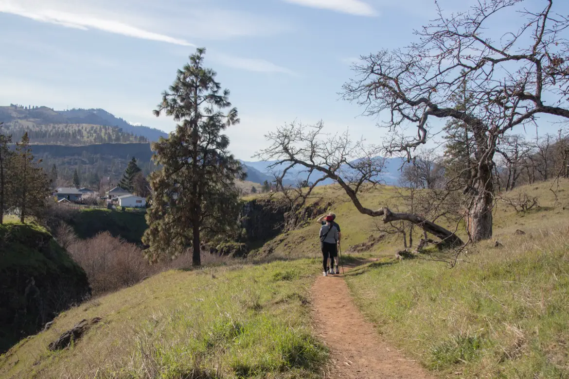
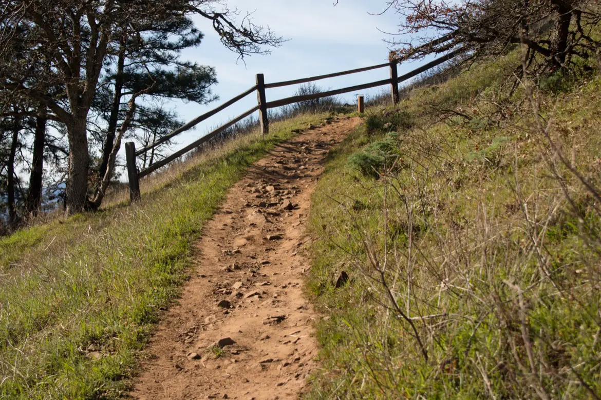
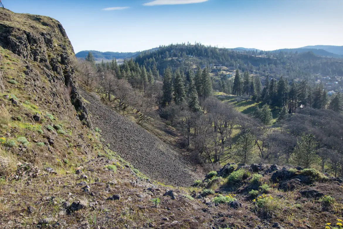
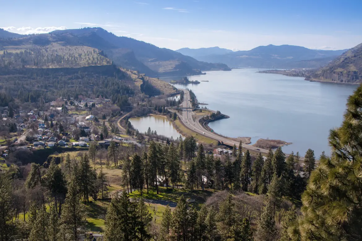
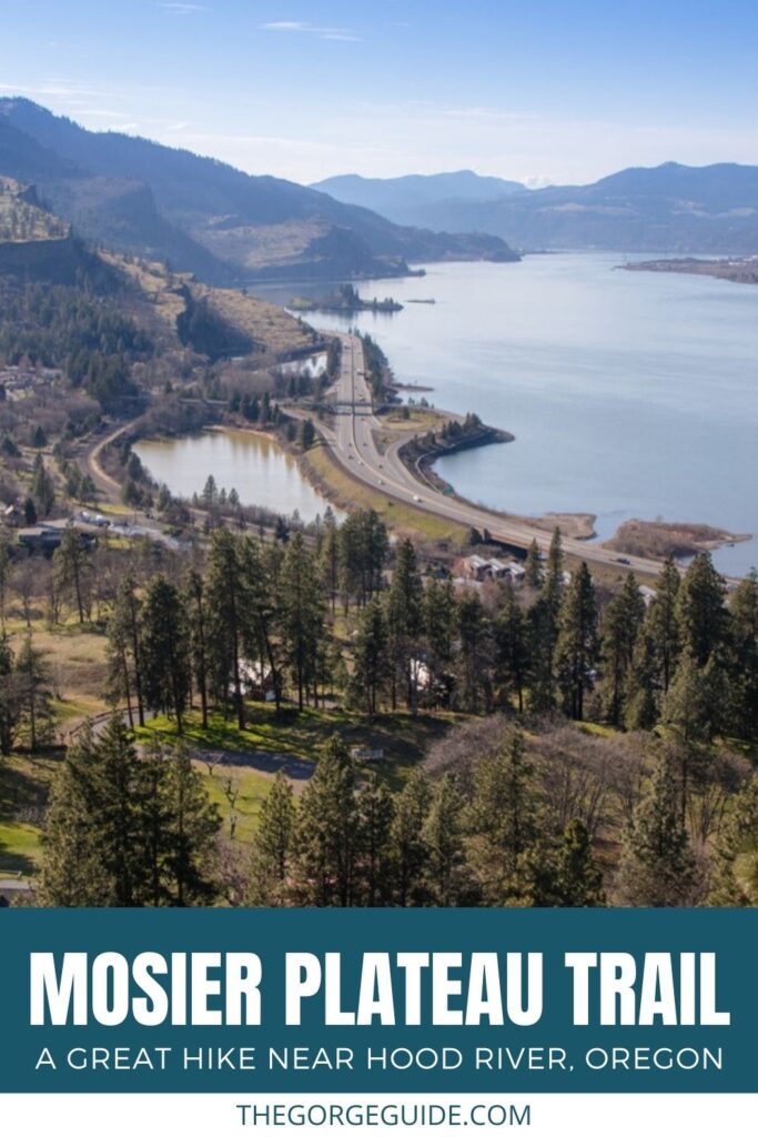
It only takes about 20 minutes to get to the top, where a flat pathway winds along the plateau and hugs the ridge line. There’s a guardrail in place to warn visitors about the steep cliffside; however, it is still possible to venture a bit farther towards the cliffs as long as you’re aware of the steep dropoff and stay on the dirt path since this area is a protected, fragile ecosystem.
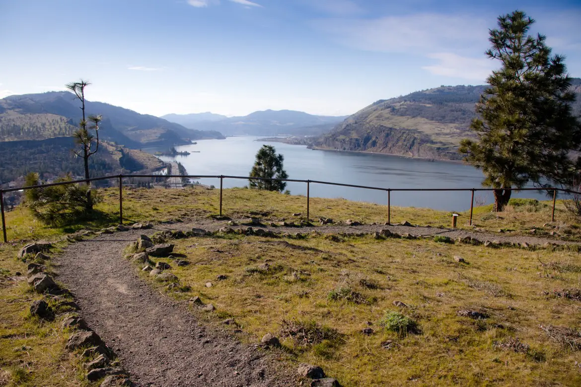
Enjoy the great views looking down on the community of Mosier, as well as the I-84 Highway, the Columbia River and the Hood River-White Salmon Interstate Bridge. Looking across the water, you’ll also be able to see Syncline and Coyote Wall on the Washington side of the river.
YOU MIGHT ALSO ENJOY:
- 5 fun things to do in Mosier Oregon
- The scenic Rowena Crest viewpoint in Oregon’s Columbia Gorge
- 3 fantastic wineries in Mosier, Oregon you need to visit
- Cycling the Mosier Twin Tunnels trail in Oregon
PIN TO SHARE:
Tamara Elliott is the travel editor and founder of The Gorge Guide, which highlights the best experiences in the Columbia River Gorge. She’s an award-winning writer formerly based in Hood River, Oregon, who particularly loves the area wineries and waterfall hikes. Tamara is also the founder of Globe Guide, which offers savvy tips for exploring destinations around the world.