Why Mitchell Point trail is one of the best Hood River hikes
The steep climb up the Mitchell Point trail may not be for the faint of heart, but the spectacular views of the Columbia River Gorge at the top make this one of the best quick hikes near Hood River, Oregon.
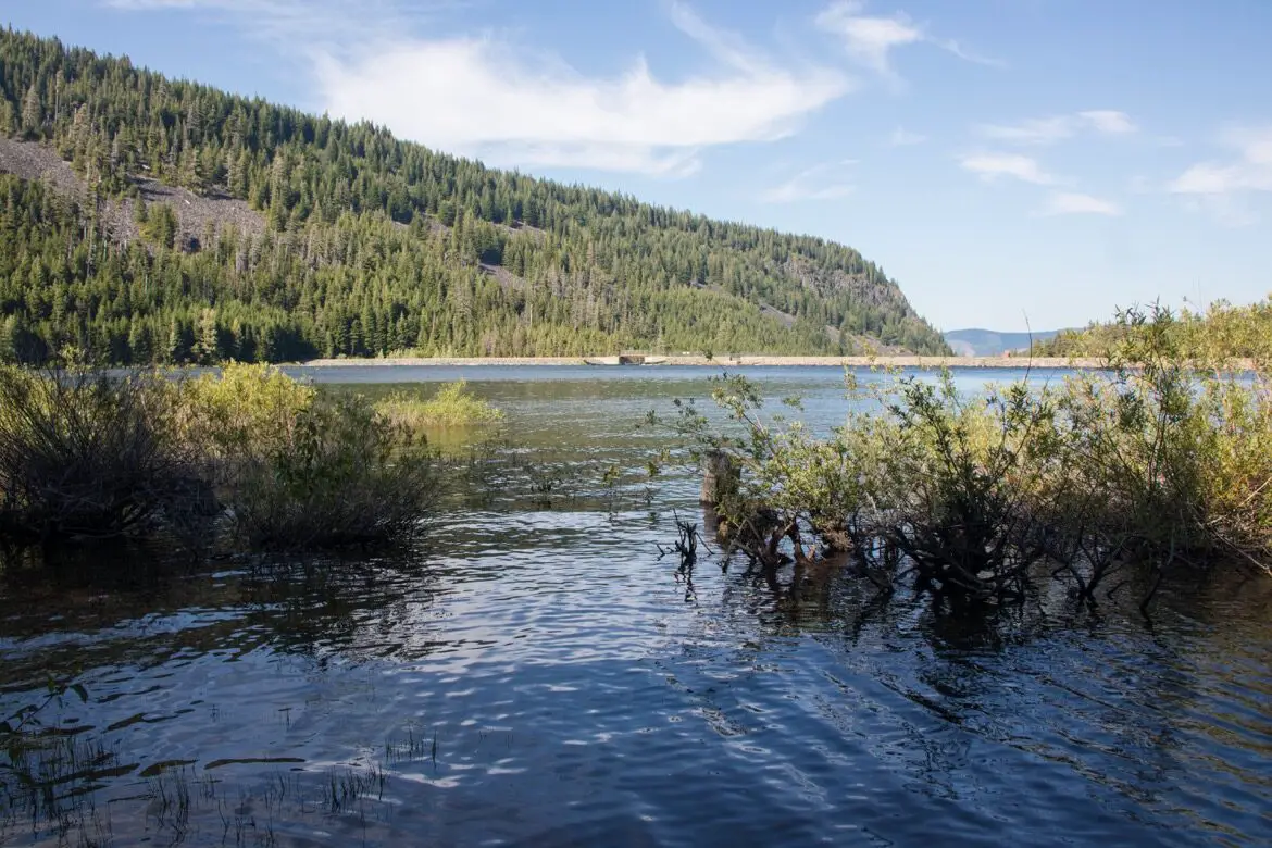
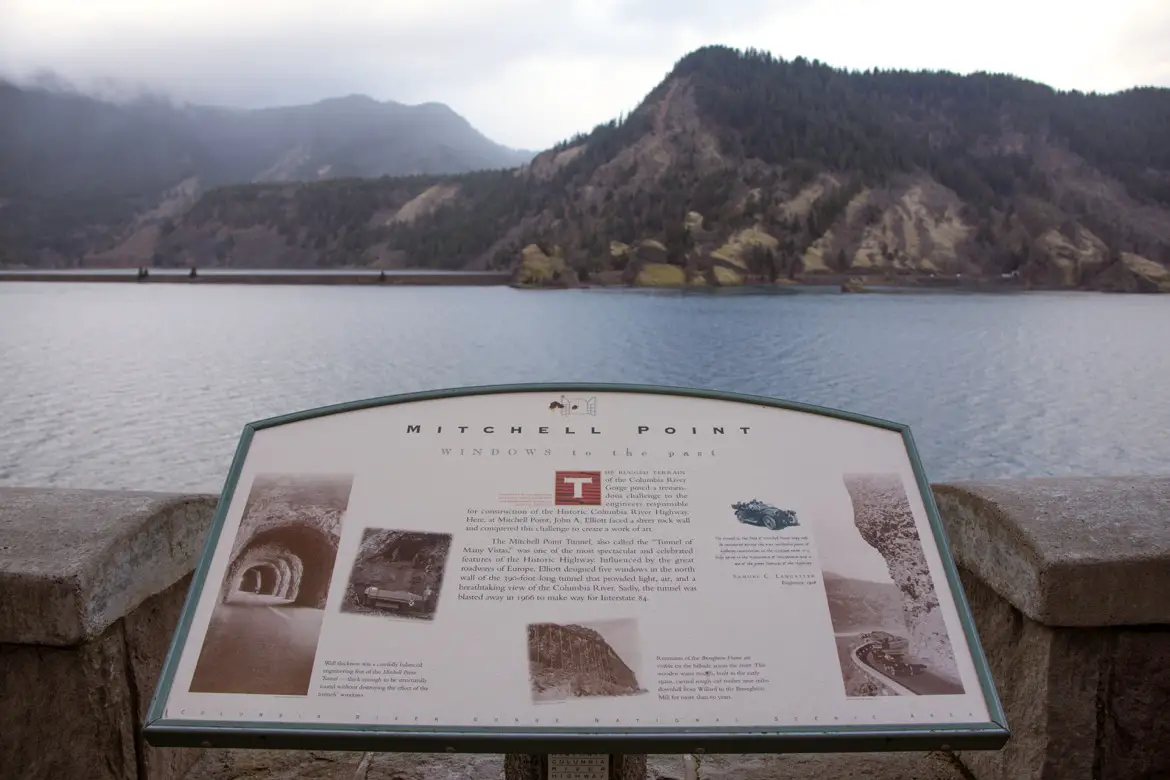
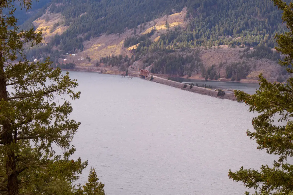
The Mitchell Point trailhead starts at Exit 58 on eastbound I-84. If you’re heading west down the highway from a place like The Dalles or Hood River, you’ll have to head further down the road to the Viento State Park exit then loop back around. At the large parking lot, there’s some trail information as well as a lookout point with views of the Columbia River and across to Washington.
 The Mitchell Point Tunnel
This is also the site of the former Mitchell Point Tunnel, which was built in the early 1900s and known as the ‘Tunnel of Many Vistas.’ The feat of engineering in the early 1900s saw a 390-foot long tunnel built in the sheer rock face with windows looking out to the landscape, despite the challenges of the rugged terrain. While it had to be blown away in 1966, it’s still known as one of the most celebrated features of the historic highway.
The Mitchell Point hike
There are two different hikes here: Wygant Peak Trail which is a 8.1 mile out and back with an elevation gain of 2,296 feet, and Mitchell Point Trail which is just 2.6 miles round trip. However, with an elevation gain of 1,270 feet in such a short distance, it can be tough to tackle and is rated as moderate and not recommended for young families. It takes about 45 minutes to hike to the top at a steady pace and 30 minutes to get back down, and is also good for trail running and geocaching.
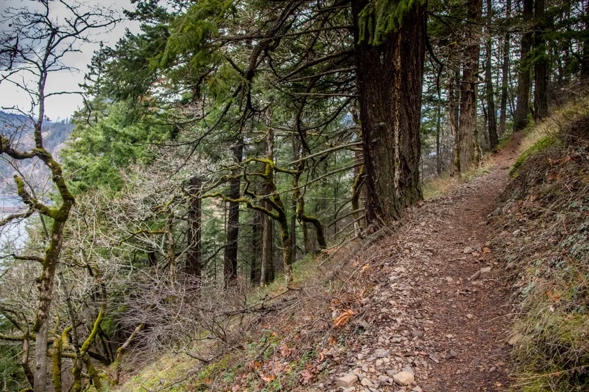
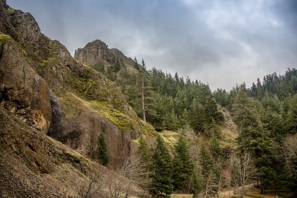
Towering trees, succulents, wildflowers and thick moss frame the well-marked trail, which is a series of switchbacks heading up the hill. While it’s mostly treed-in, there are some breaks in the brush that offer great views of the Columbia River Gorge National Scenic Area.
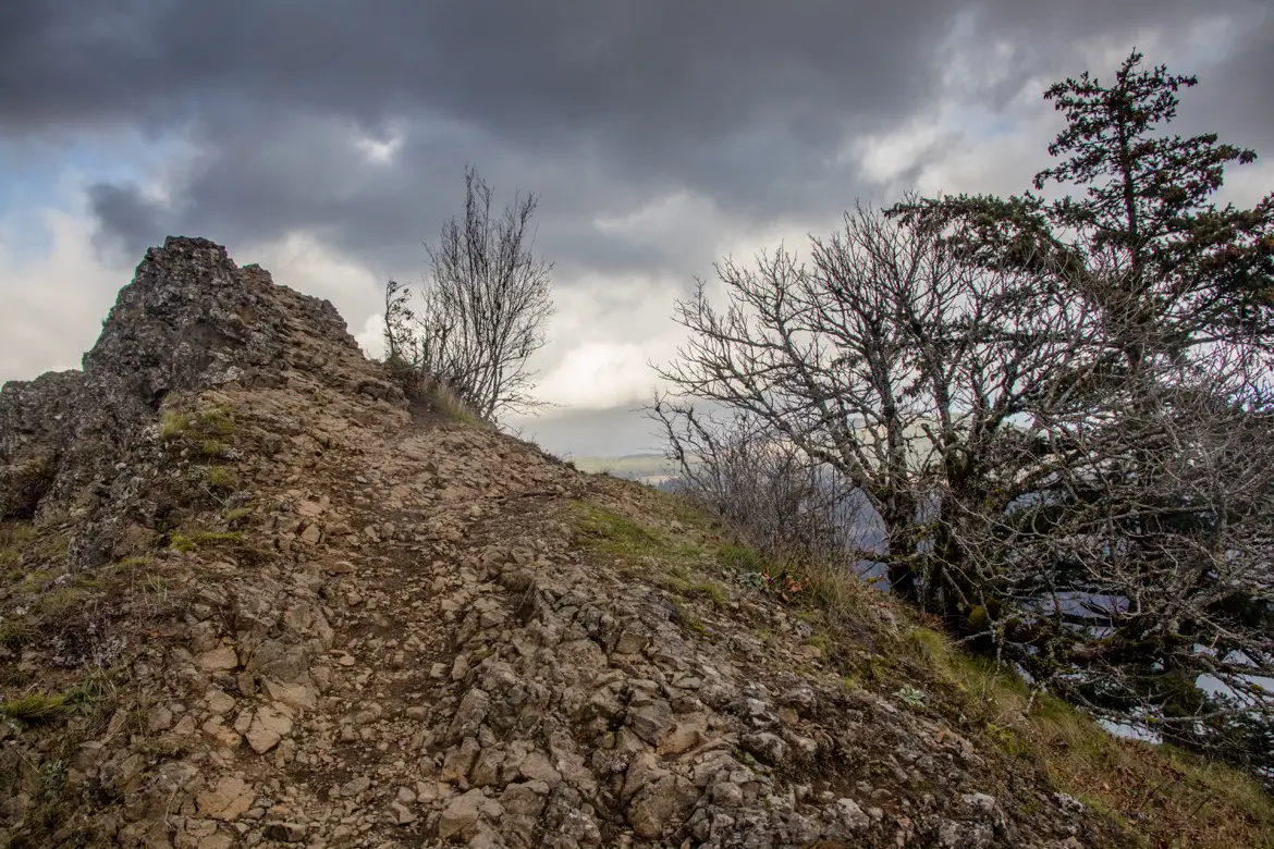
The first section of the hike is a dirt pathway, which eventually turns into a scree-covered section with loose rock which makes it quite a challenge (especially on the way back down). Keep an eye out for wild turkeys, and bald eagles soaring overhead.

The Mitchell Point overlook
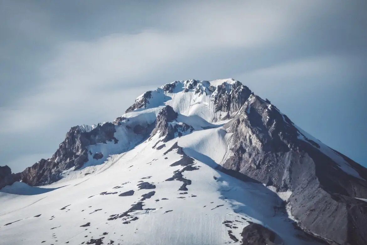
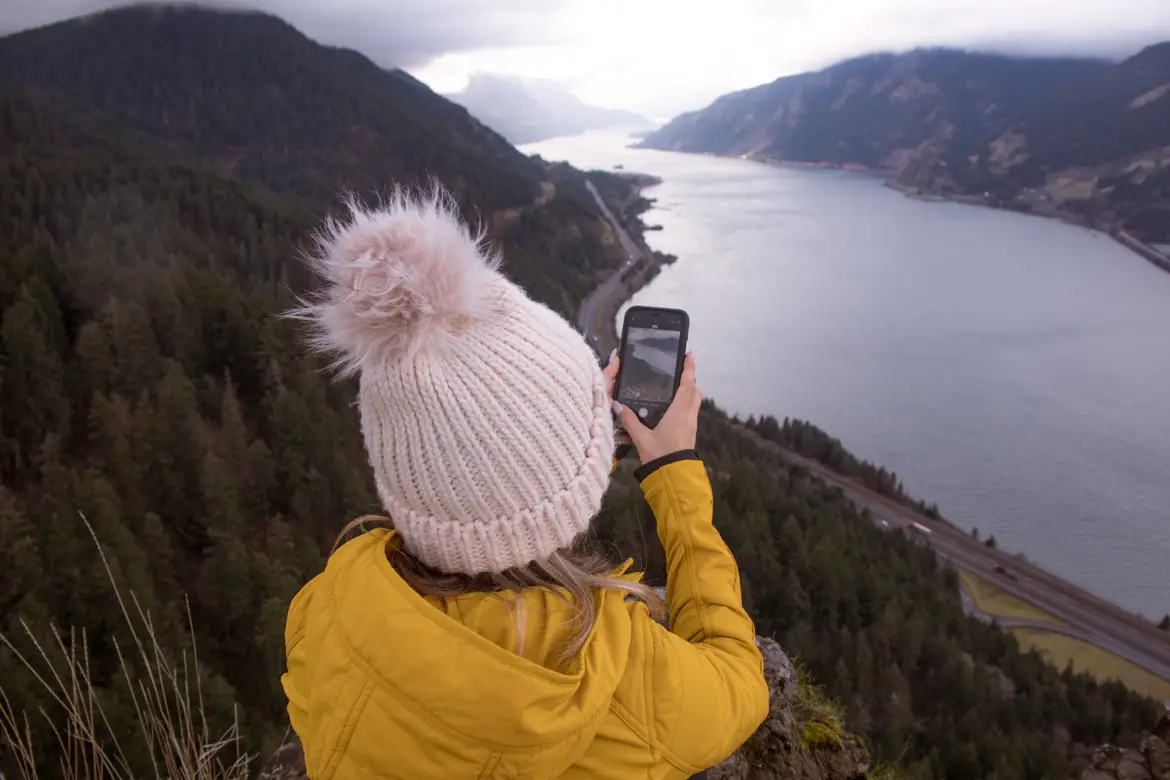
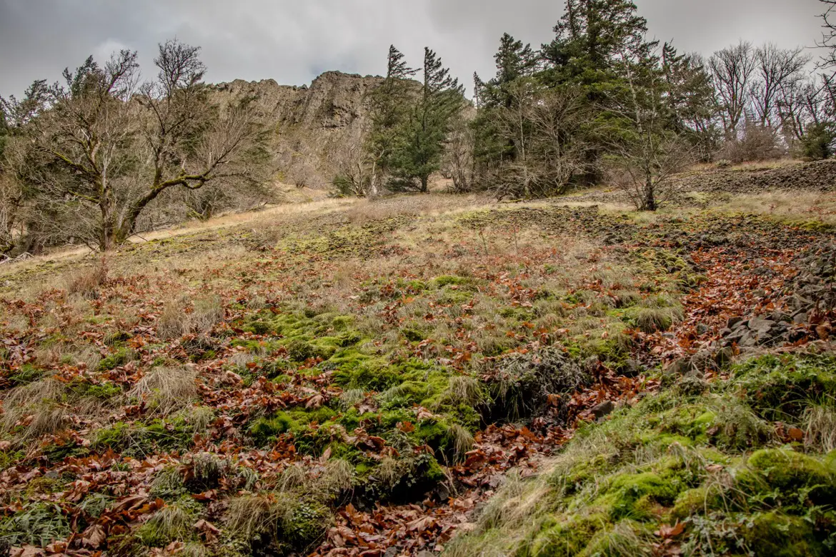
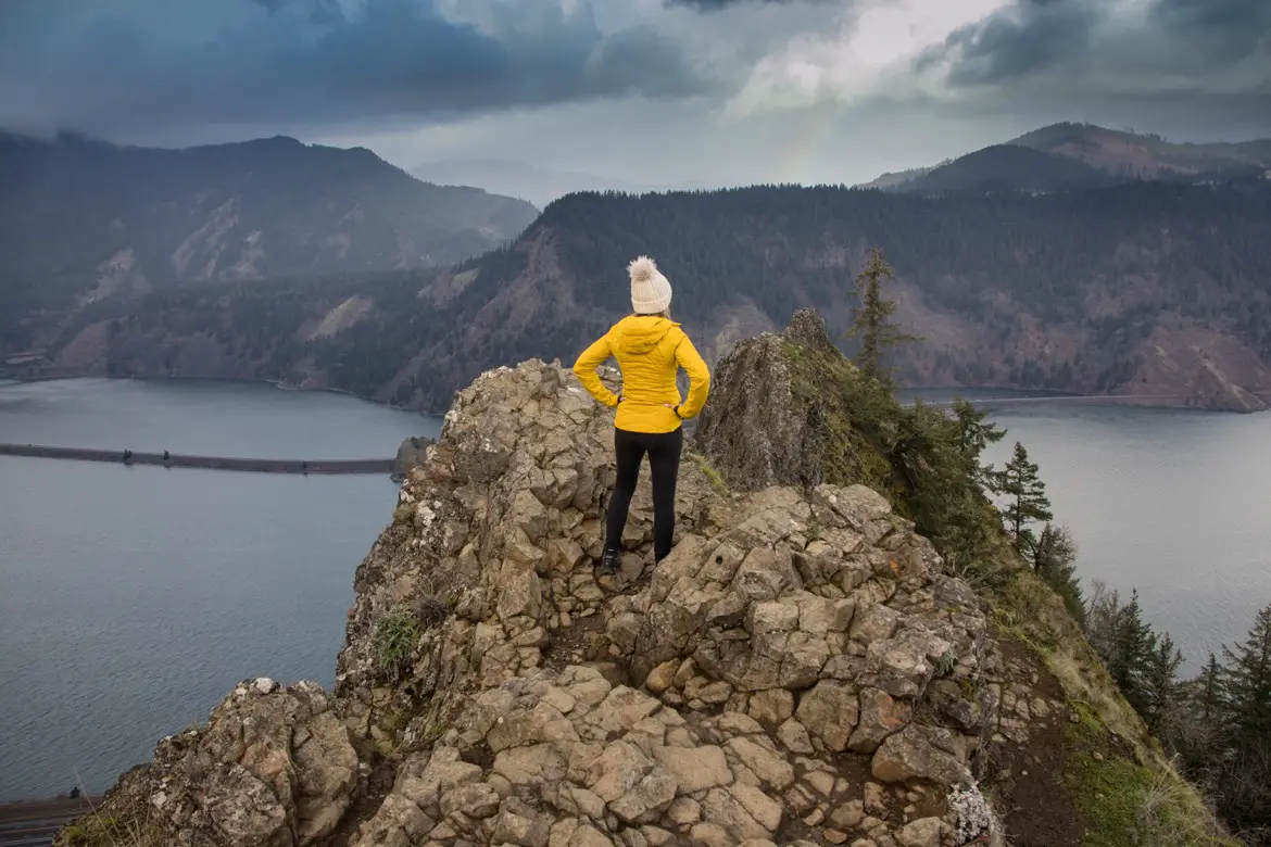
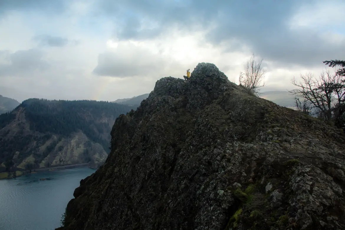
Once you make it through the rocks, it’s not much further along the open talus slopes to the Mitchell Point overlook, also known as Angel’s Rest. Here, all the hard work pays off. A narrow trail along the cliffside leads to the point, which has panoramic views of the Columbia and Little White Salmon rivers, Drano Lake, the towns of White Salmon and Bingen in Washington, the winding highway and railroad tracks, Mount Adams and Mount Defiance.
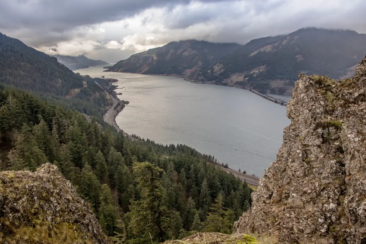
It’s critical to watch your footing here and not stray from the path, as it’s a steep drop on all sides and can be very windy.
Mitchell Spur
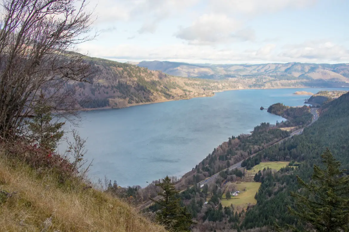
There’s one more stop on the way back, to Mitchell Spur which is the smaller ridge below Mitchell Point. To get there, head back to the talus slopes then branch off on the faint path leading to the open summit straight ahead. You’ll enjoy a different vantage point here, as well as a different perspective of Mitchell Point before following the path back to the main trail towards the parking area.
Tips for hiking Mitchell Point trail
- The overlook can also be accessed from Post Canyon, which is a much easier walk in since hikers can avoid most of the steep climbs.
- Be sure to wear long pants and stay on the trail, since there is poison oak and ticks in the area
YOU MIGHT ALSO LIKE:
- Why Tamanawas Falls is one of the best hikes near Hood River, Oregon
- Latourell Falls: An easy way to see Columbia Gorge waterfalls
- The scenic Rowena Crest viewpoint in Oregon’s Columbia Gorge
PIN TO SHARE:

Tamara Elliott is the travel editor and founder of The Gorge Guide, which highlights the best experiences in the Columbia River Gorge. She’s an award-winning writer formerly based in Hood River, Oregon, who particularly loves the area wineries and waterfall hikes. Tamara is also the founder of Globe Guide, which offers savvy tips for exploring destinations around the world.